


Highlights
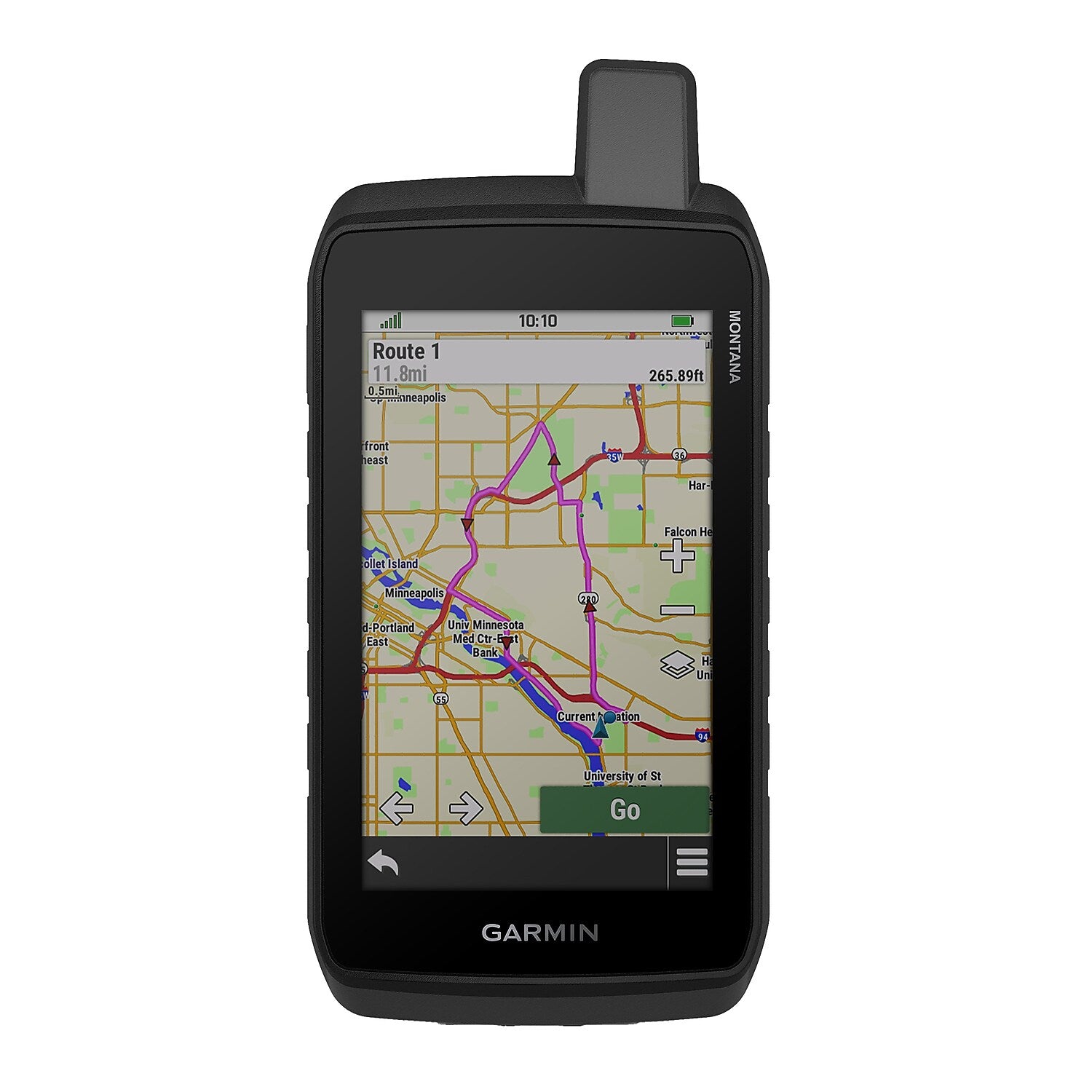
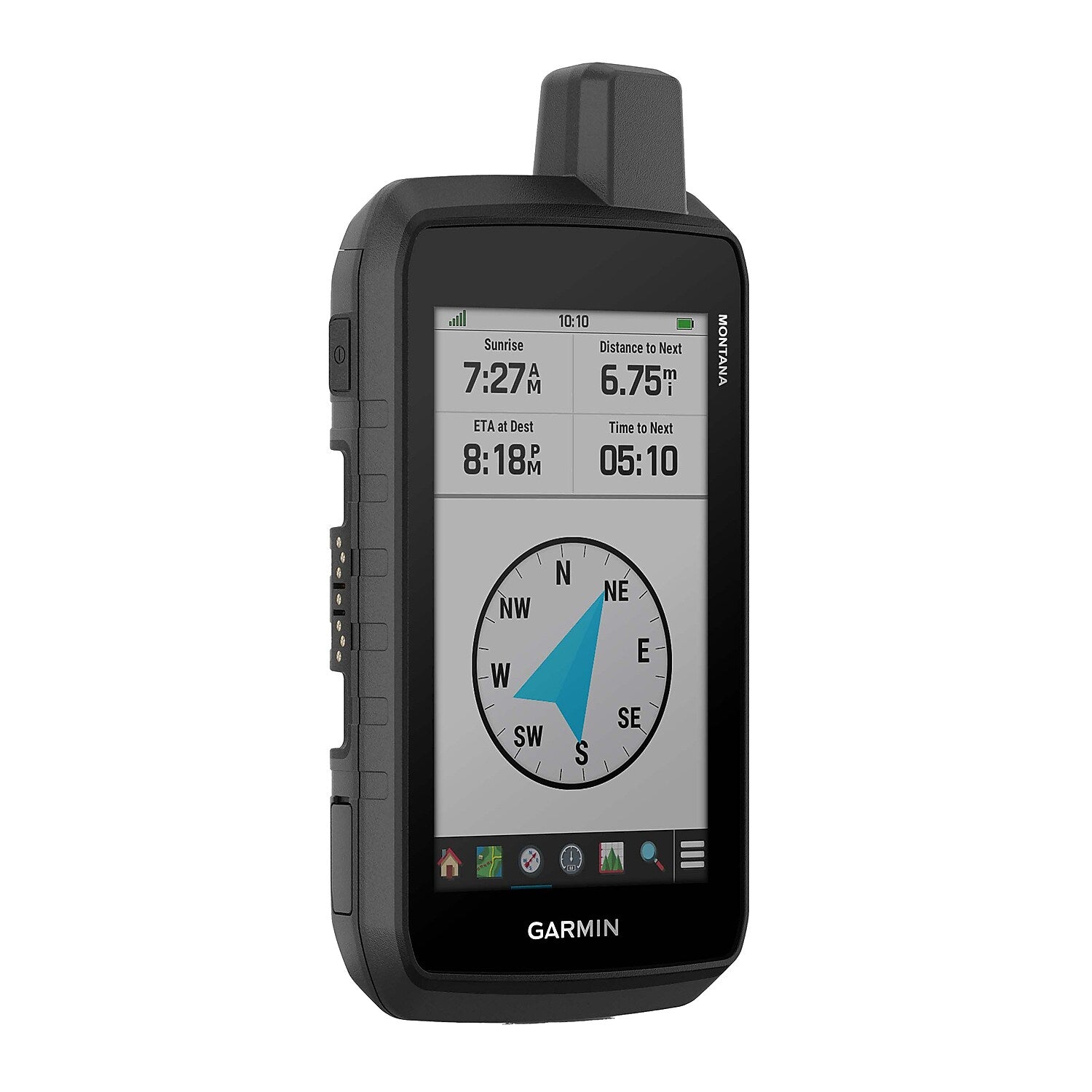
View Details- 5-in., glove-friendly touchscreen handheld GPS navigator with easy-to-view color display; available with versatile mounting options (sold separately), depending on your activity
- Venture with peace of mind; an active inReach satellite communication subscription gives you access to 2-way text messaging via the 100% global Iridium satellite network and interactive SOS to the Garmin ResponseSM team, an international 24/7-staffed emergency response coordination center (active subscription required; some jurisdictions regulate or prohibit the use of satellite communication devices)
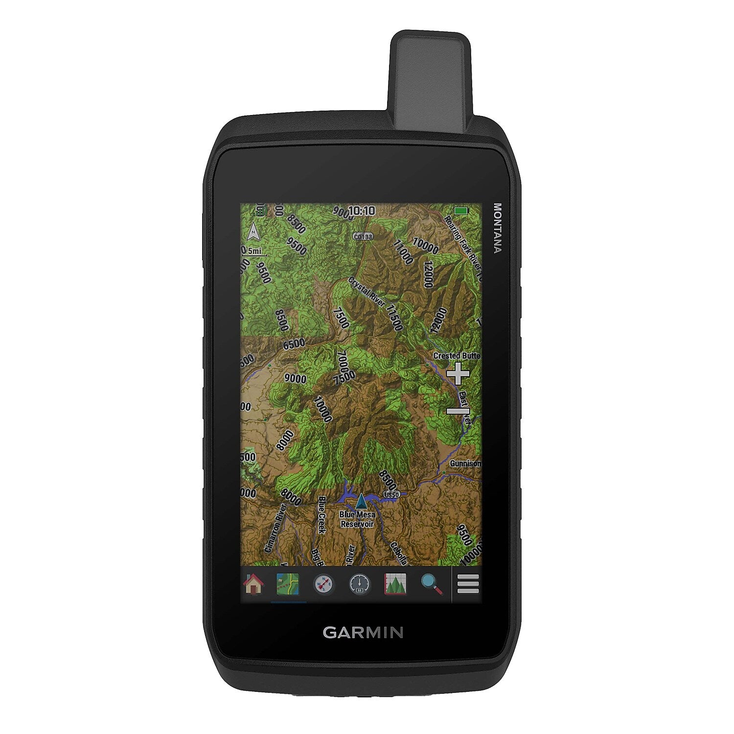
- Navigate your adventures with included TopoActive maps and the ability to download additional maps, such as City Navigator maps for streets and BlueChart g3 charts for water (sold separately)
Garmin Montana 760i 5" Rugged Handheld Touchscreen GPS Navigator with inReach and 8.0 MP Camera, Black (010-02964-10)
Log in to see pricing
Same-day Shipping
This product usually ships and arrives up to 1 - 2 days
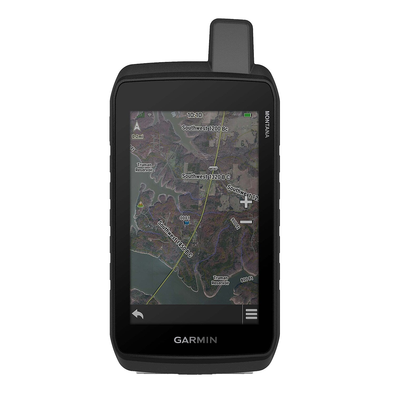
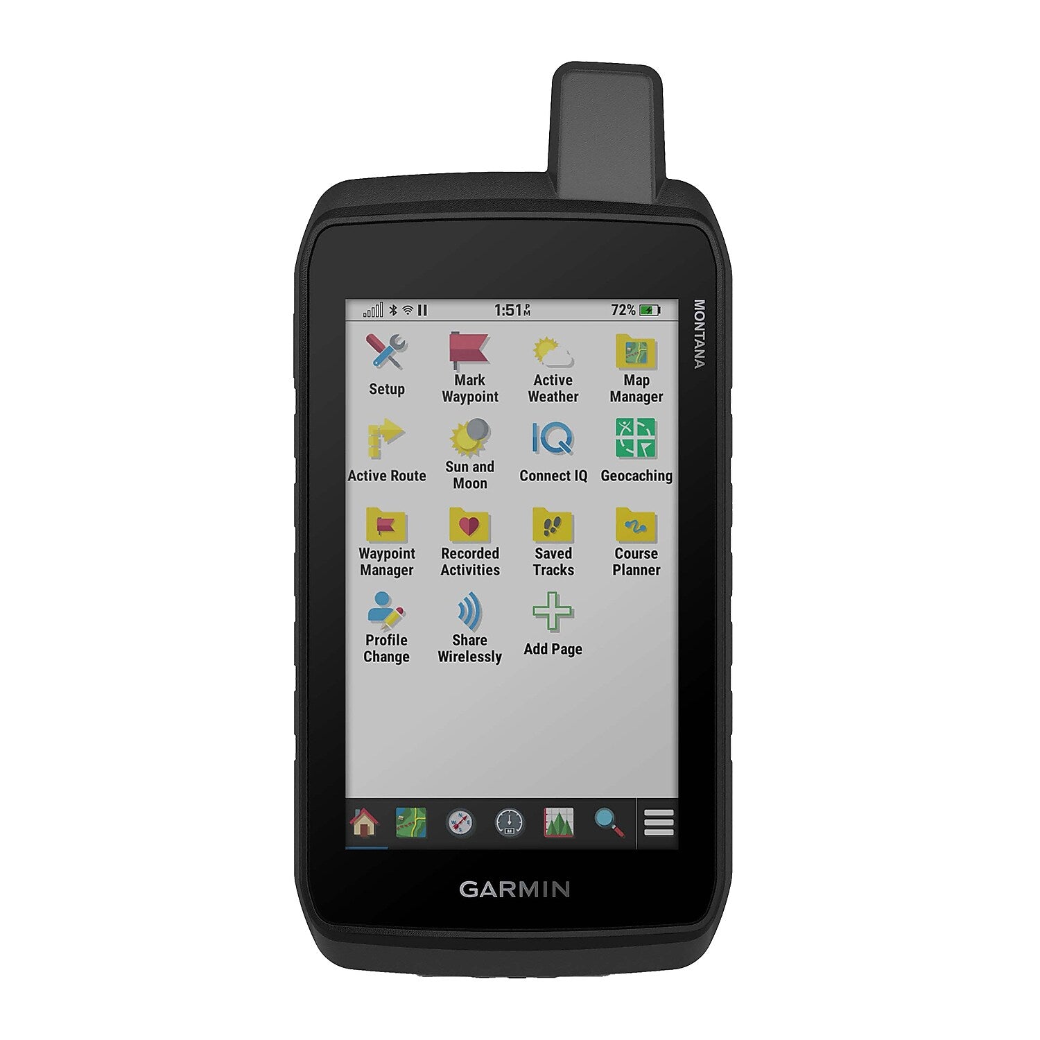
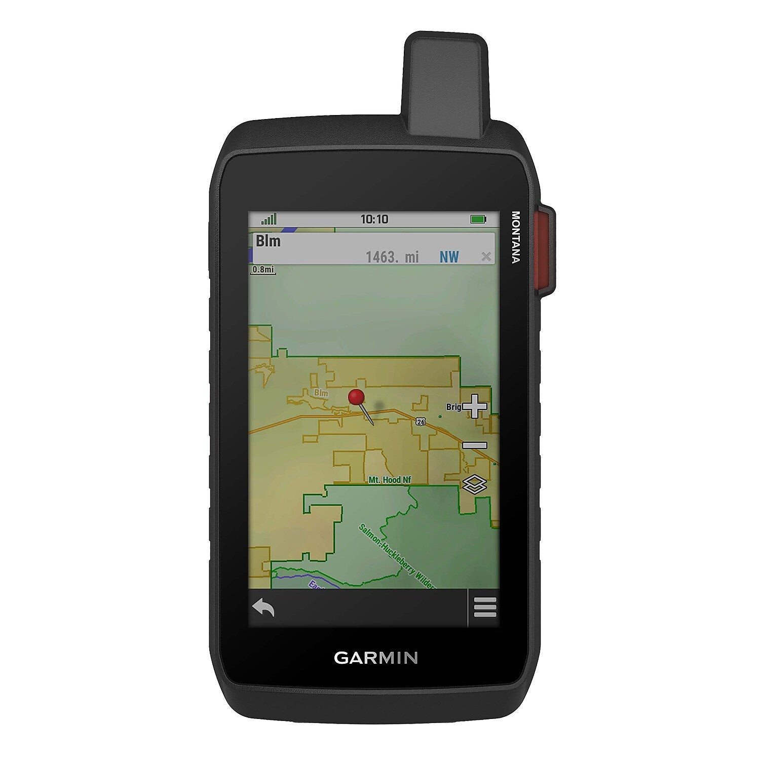
Stay on track and in touch with the rugged Montana® 760i Handheld GPS Navigator with inReach® technology from Garmin®. Built to guide you through all kinds of adventures, it includes TopoActive mapping and a glove-friendly 5-in. color touchscreen. When you go beyond the limits of cell service, stay connected with inReach® technology for 2-way text messaging, live tracking, and interactive SOS alerts to the Garmin ResponseSM team, a 24/7-staffed international emergency response coordination center (active subscription required; some jurisdictions regulate or prohibit the use of satellite communication devices). Capture and tag the location of your photos along the way with the built-in camera. Expanded 32 GB memory capacity lets you store more maps to keep your expeditions on course. High-resolution satellite imagery, available via subscription-free, direct-to-device downloads (requires a connection with Wi-Fi® technology), shows a clear overhead view of your route and surrounding terrain. Get the on- or off-road capabilities you need with multi-GNSS support and ABC sensors. Add ongoing access to Outdoor Maps+ (sold separately) for a wide variety of premium mapping content. Explore longer with up to 24 hours of battery life in GPS mode and up to 432 hours in ultralow-powered expedition mode, and recharge easily with the provided USB-C® cable. Plus, Montana® 760i meets MIL-STD 810 for thermal, shock, and vibration and is rated IPX7 for water-resistance.
- 5-in., glove-friendly touchscreen handheld GPS navigator with easy-to-view color display; available with versatile mounting options (sold separately), depending on your activity
- Venture with peace of mind; an active inReach satellite communication subscription gives you access to 2-way text messaging via the 100% global Iridium satellite network and interactive SOS to the Garmin ResponseSM team, an international 24/7-staffed emergency response coordination center (active subscription required; some jurisdictions regulate or prohibit the use of satellite communication devices)
- Navigate your adventures with included TopoActive maps and the ability to download additional maps, such as City Navigator maps for streets and BlueChart g3 charts for water (sold separately)
- Built-in 8.0-MP autofocus camera lets you capture and tag the location of your photos so you can navigate back to those sites later
- Rugged construction is rated to MIL-STD 810 for thermal, shock, and vibration and IPX7 for water-resistance
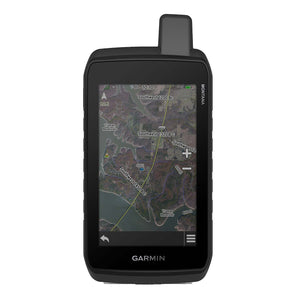
- Downloadable high-resolution satellite imagery shows photorealistic overhead views and lets you create waypoints based on landmarks
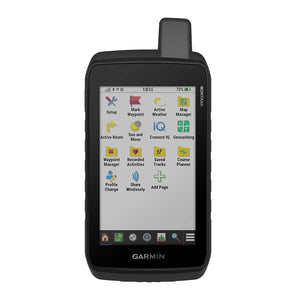
- Expanded 32 GB memory capacity lets you store additional maps and more to keep your expeditions on course; with a subscription to Outdoor Maps+ (sold separately), get ongoing access to a wide variety of premium mapping content, which you can download to your navigator via Wi-Fi technology
- Up to 24 hours battery life in GPS mode (with a text message or location sent every 10 minutes up to 24 hours; up to 432 hours in expedition mode (with a text message or location sent every 30 minutes up to 400 hours), and up to 1 year if powered off
- Includes micro-USB-C cable and documentation
| Manufacturer # | GRM010029641 |
| Battery Life | 8.5 hours + |
| Bluetooth | Yes |
| Brand Name | Garmin |
| Connectivity | Bluetooth, Wifi |
| Depth in Inches | 1.3 |
| Gps Coverage | North America |
| Gps Map Type | Topographical |
| Gps Type | Portable GPS |
| Height in Inches | 7.2 |
| Internal Memory (gb) | 32 |
| Lifetime Updates | No Lifetime Updates |
| Power Supply | Battery, USB-C |
| Screen Size in Inches | 5 |
| Series or Collection | Montana® |
| Touch Screen Enabled | Yes |
| True Color | Black |
| Warranty Information | 1 Year |
| Width in Inches | 3.6 |
Details
Stay on track and in touch with the rugged Montana® 760i Handheld GPS Navigator with inReach® technology from Garmin®. Built to guide you through all kinds of adventures, it includes TopoActive mapping and a glove-friendly 5-in. color touchscreen. When you go beyond the limits of cell service, stay connected with inReach® technology for 2-way text messaging, live tracking, and interactive SOS alerts to the Garmin ResponseSM team, a 24/7-staffed international emergency response coordination center (active subscription required; some jurisdictions regulate or prohibit the use of satellite communication devices). Capture and tag the location of your photos along the way with the built-in camera. Expanded 32 GB memory capacity lets you store more maps to keep your expeditions on course. High-resolution satellite imagery, available via subscription-free, direct-to-device downloads (requires a connection with Wi-Fi® technology), shows a clear overhead view of your route and surrounding terrain. Get the on- or off-road capabilities you need with multi-GNSS support and ABC sensors. Add ongoing access to Outdoor Maps+ (sold separately) for a wide variety of premium mapping content. Explore longer with up to 24 hours of battery life in GPS mode and up to 432 hours in ultralow-powered expedition mode, and recharge easily with the provided USB-C® cable. Plus, Montana® 760i meets MIL-STD 810 for thermal, shock, and vibration and is rated IPX7 for water-resistance.
- 5-in., glove-friendly touchscreen handheld GPS navigator with easy-to-view color display; available with versatile mounting options (sold separately), depending on your activity
- Venture with peace of mind; an active inReach satellite communication subscription gives you access to 2-way text messaging via the 100% global Iridium satellite network and interactive SOS to the Garmin ResponseSM team, an international 24/7-staffed emergency response coordination center (active subscription required; some jurisdictions regulate or prohibit the use of satellite communication devices)
- Navigate your adventures with included TopoActive maps and the ability to download additional maps, such as City Navigator maps for streets and BlueChart g3 charts for water (sold separately)
- Built-in 8.0-MP autofocus camera lets you capture and tag the location of your photos so you can navigate back to those sites later
- Rugged construction is rated to MIL-STD 810 for thermal, shock, and vibration and IPX7 for water-resistance
- Downloadable high-resolution satellite imagery shows photorealistic overhead views and lets you create waypoints based on landmarks
- Expanded 32 GB memory capacity lets you store additional maps and more to keep your expeditions on course; with a subscription to Outdoor Maps+ (sold separately), get ongoing access to a wide variety of premium mapping content, which you can download to your navigator via Wi-Fi technology
- Up to 24 hours battery life in GPS mode (with a text message or location sent every 10 minutes up to 24 hours; up to 432 hours in expedition mode (with a text message or location sent every 30 minutes up to 400 hours), and up to 1 year if powered off
- Includes micro-USB-C cable and documentation
| Attribute Name | Attribute Value |
|---|